

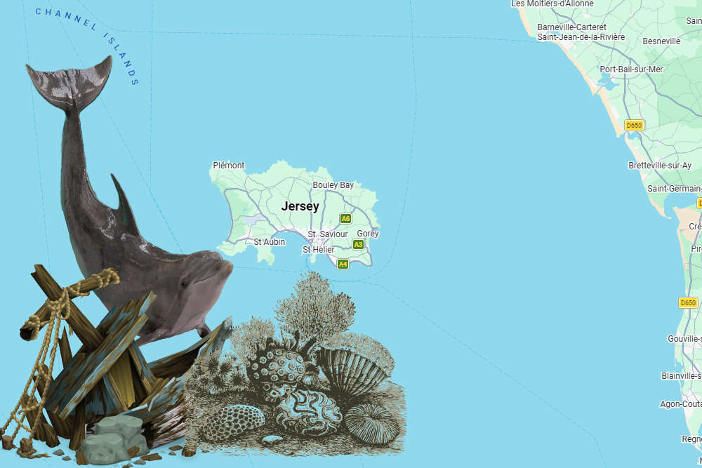
A new digital atlas for Jersey makes it easier to see shipwreck locations, marine habitats and records of dolphin activity.
An interactive map has been created of Jersey's Marine Spatial Park.
The tool has been developed by government to help people understand the 90% of Jersey hidden below the tide line.
It includes the new marine protected areas where dredging and trawling will be banned in two stages, starting this September.
The maps and charts can be seen at Jersey Marine Spatial Plan
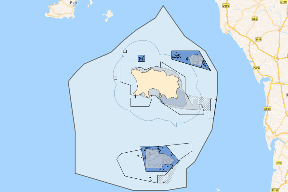
Layers include known shipwreck locations and their date of sinking, a dolphin index showing activity collated from hydrophones that are stationed around Jersey, and a base map that shows the extent of Jersey’s territorial waters.
The atlas was created between I&E's Marine Resources team and Geospatial team to bring the map layers together in a way that is accessible for public viewing.
 4.7% increase in Jersey old age pension
 Seven straight swim marathons for Jersey surgeon
 'No final decision' on planned Apple Crusher relocation
 DFDS Christmas timetable signed off... but still not published
 Opening of 'transformed' Departure Lounge weeks away
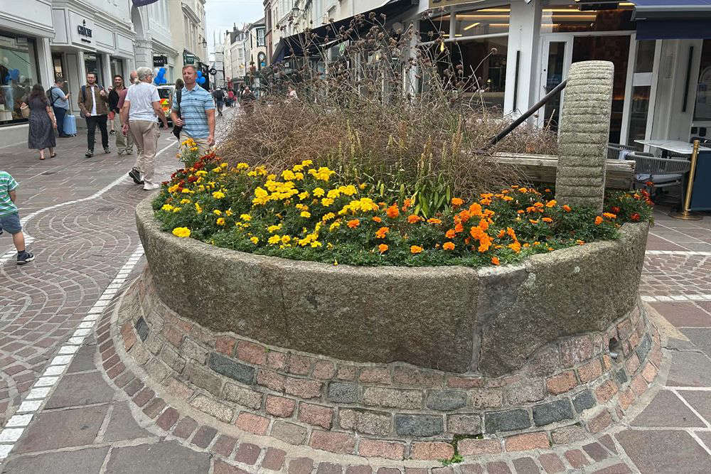 Should the King Street apple crusher be relocated?
 Jersey Bulls restore away match livestream
 Jersey population stable but ageing as migration falls

Comments
Add a comment