
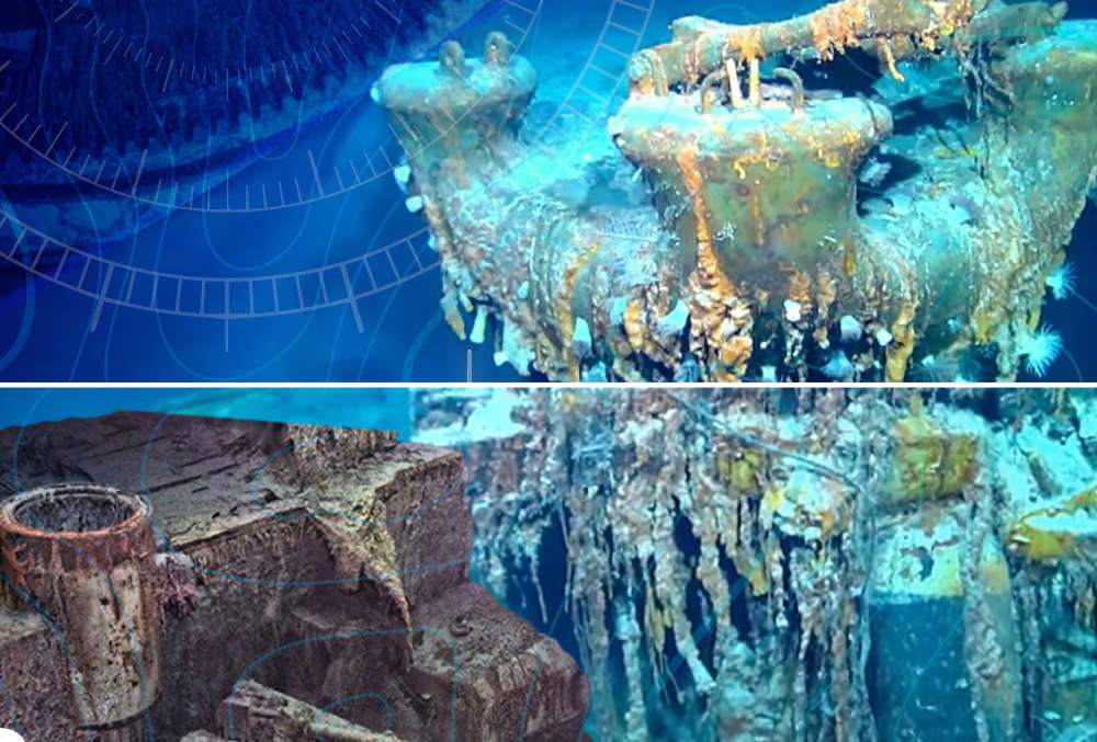
Magellan says the project was more challenging than mapping the Titanic because of the depth involved.
The sinking of the Bismarck is a famous naval battle that took place in the north Atlantic in May 1941.
The pride of the German Navy was sunk by Allied aircraft and battleships, although historians say her crew also set off charges to scuttle her.
Magellan, which has its corporate base in Guernsey, has successfully mapped the Bismarck, creating what it calls a 'digital twin' that is accurate to the millimetre.
The wreck was discovered in the late 1980s and lies approximately 400 miles west of Brest in Brittany, in nearly 16,000 feet of water on the side of a volcano.
However, the 3D images show it is sitting upright with a large debris field surrounding it.
Magellan says that details like gun rounds and even a painted swastika can be clearly seen in their 'digital twin.'
The company completed the first 3D survey of the Titanic some years ago, but say the Bismarck was more challenging because it sits a kilometre deeper, where the water pressure is extreme and visibility limited.
Magellan specialise in deep ocean surveys and wreck discovery and mapping.
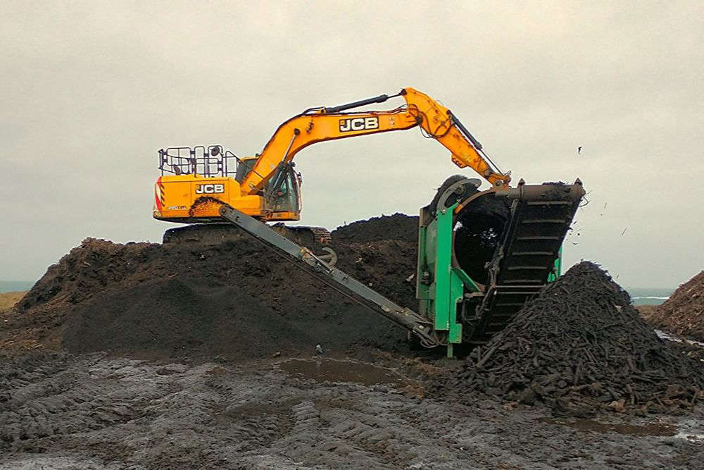 Guernsey Waste improves the quality of its free garden compost
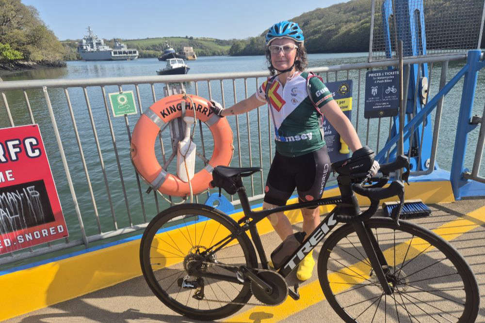 Guernsey cat lover to ride the length of Britain in nine days
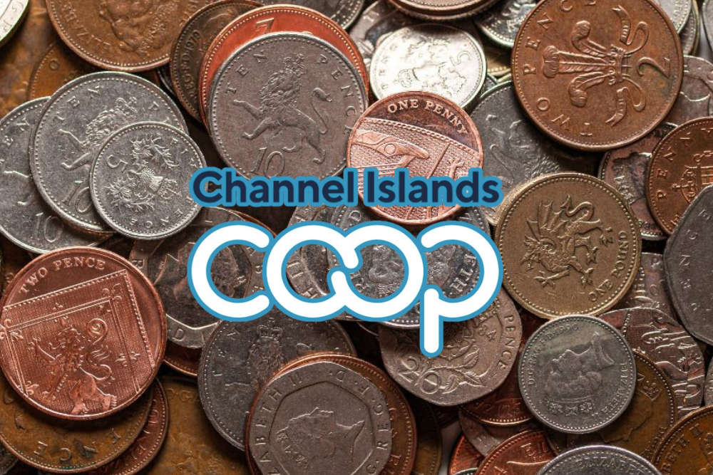 Unclaimed CI Co-op cash funds community projects
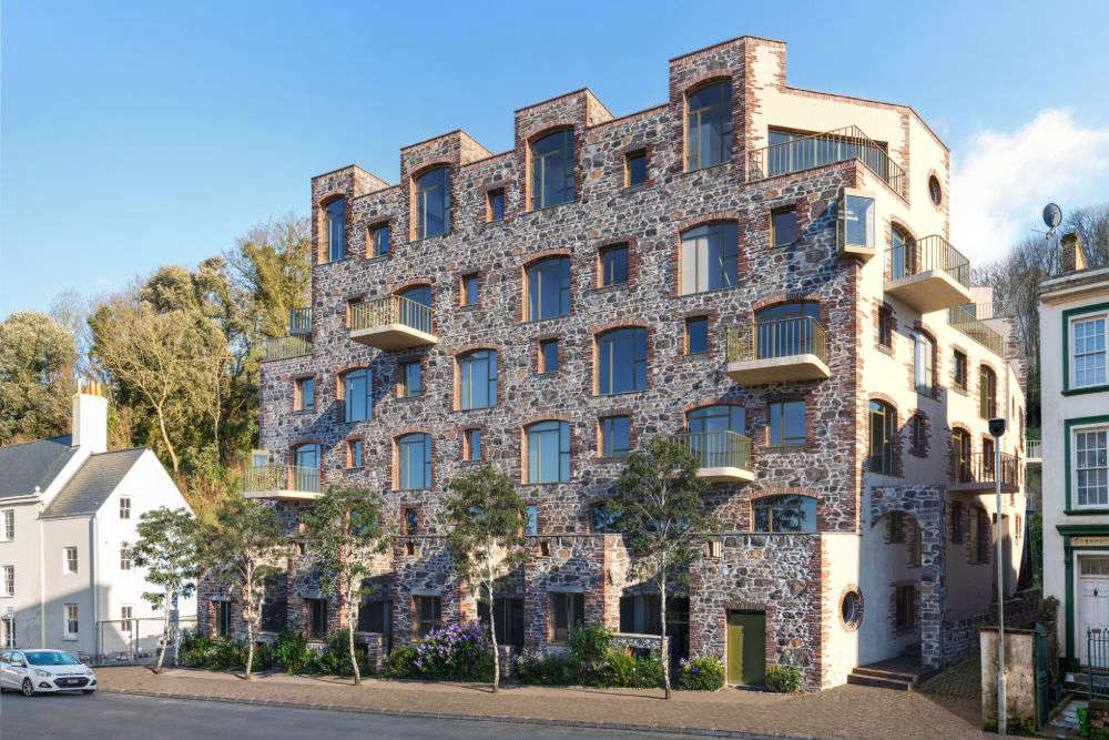 Work to commence on 70 affordable flats and homes in Guernsey
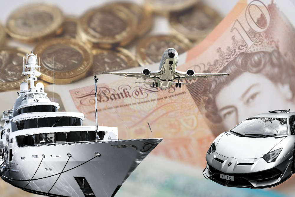 A new tax, more 'proportionate' to wealth, to be put to Guernsey's States
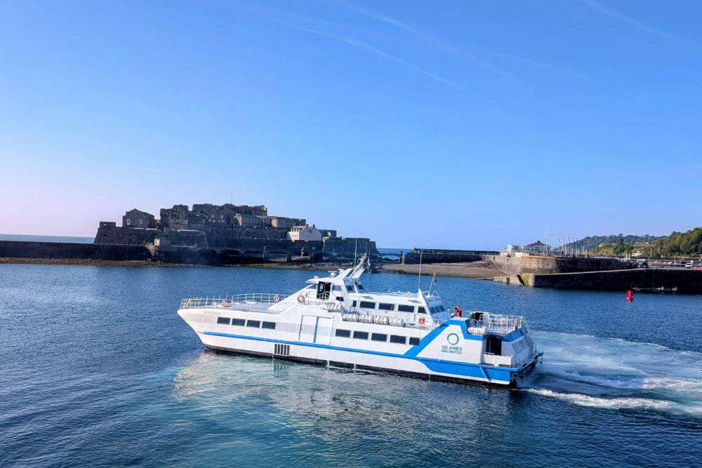 Guernsey gives £75k for Islands Unlimited inter-islands sailings
 Guernsey tax package to raise more States income but protect low earners
 Changes to make Guernsey's buses more reliable

Comments
Add a comment